Integrating External Web Services
The DE Africa platform is built on top of open standards and can integrate with a range of external web services. Some examples of external services are included on this page.
Norway’s International Climate and Forests Initiative Data program (NICFI)
NICFI has arranged for non-commercial users to be able to access high-resolution, analysis-ready mosaics over the world’s tropics. It’s possible to integrate the visual layers into DE Africa’s Maps application or to download the data to use in the DE Africa Sandbox. For more information, see Planet’s NICFI page.
Steps to load NICFI visual layers in Maps
Sign up for the program on the NICFI home page
Once you have access, copy your
API_KEYfrom your “My Settings” page on the Planet websiteCopy this URL, and add your
API_KEYto the end:https://api.planet.com/basemaps/v1/mosaics/wmts?api_key=YOURKEYGOESHEREGo to DE Africa Maps and do the following:
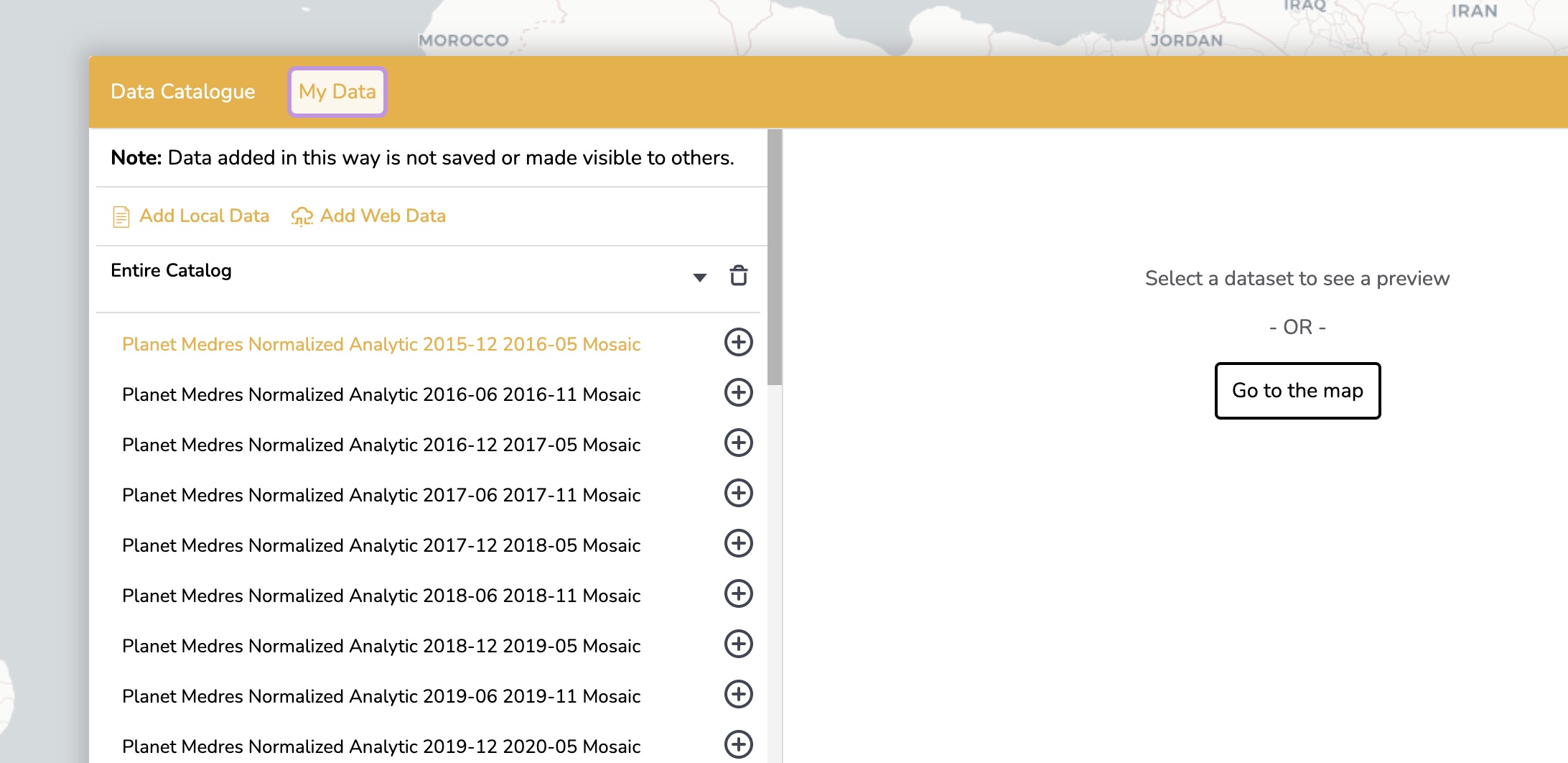
Click “Explore map data”
Click “My Data”
Click “Web Data”
Pasted the above URL into the “Step 2” section, and click “Add”
When you’ve added one of the mosaics, you can visualise it across Africa in context with DE Africa data, such as the Sentinel-2 GeoMAD.